Dispatch
A new substation in Kwara, and what it does not do
The state has a new piece of the national grid. It is worth being precise about what that changes, because it is not the thing most people will assume.
North-Central
Kwara State
8.4966° N, 4.5421° E
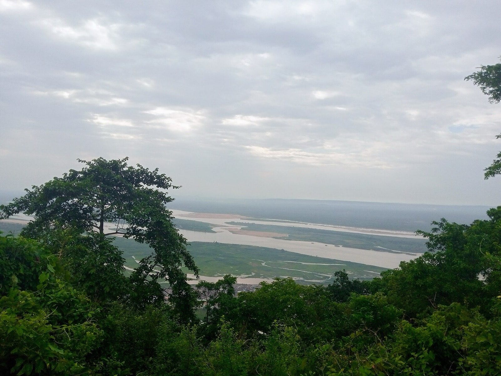
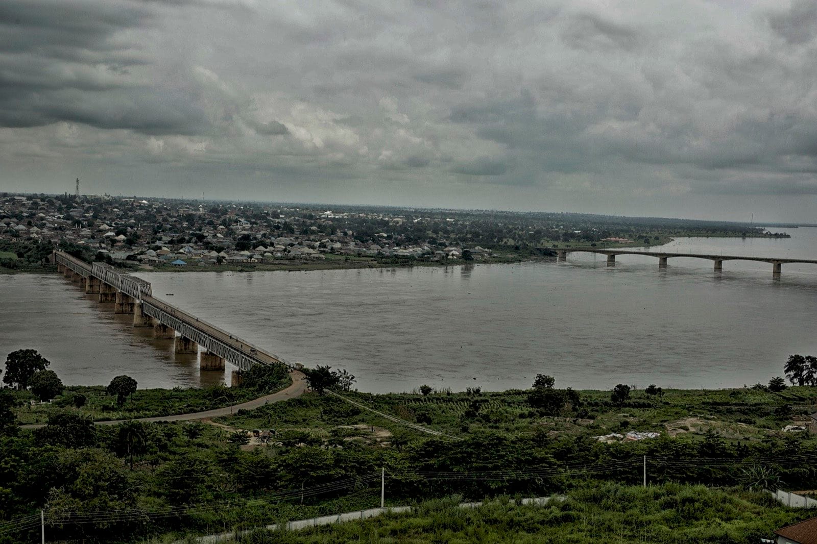
The state the Niger runs along on its way south — and the place a new piece of the national grid was put down in.
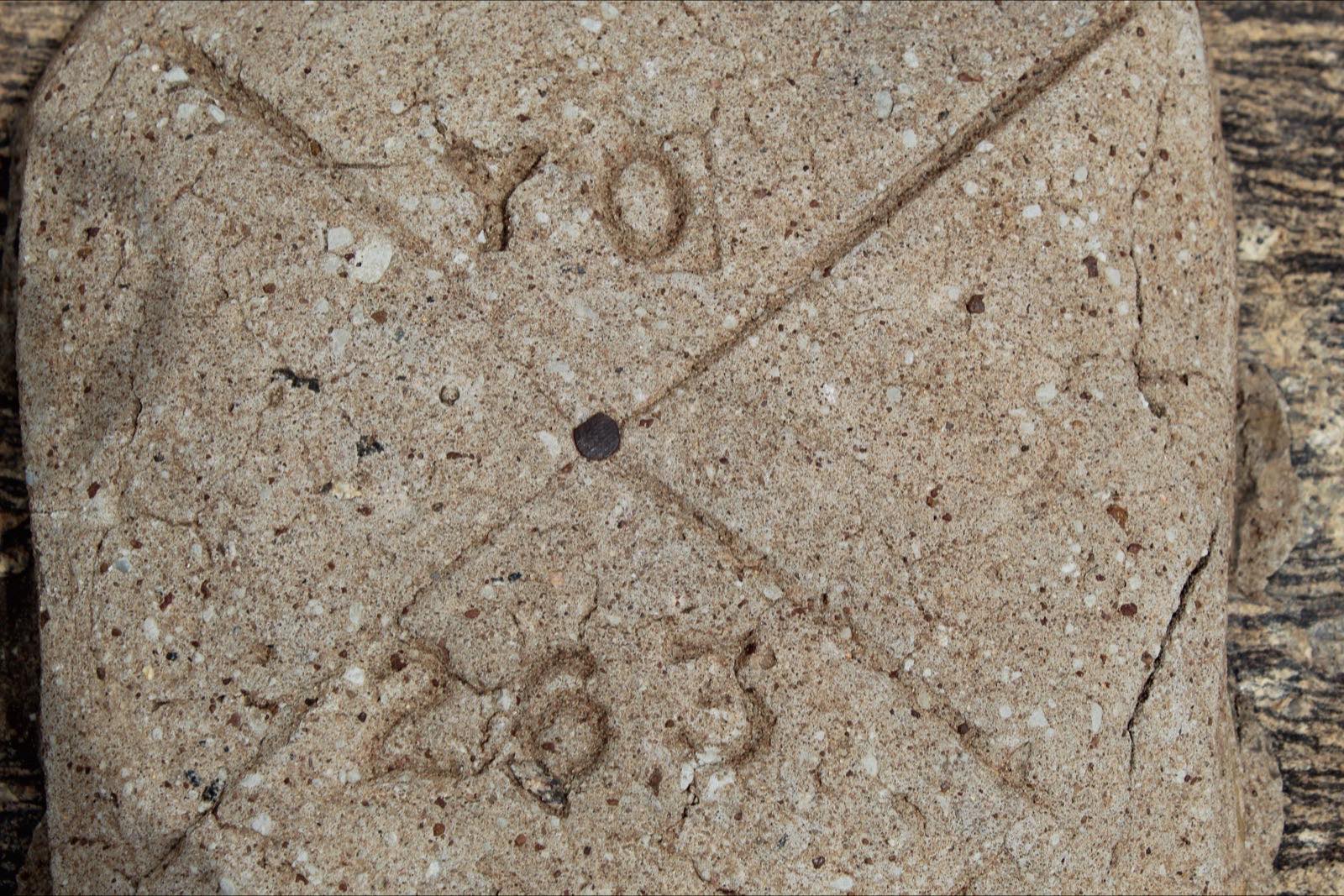
Kwara sits where the Yoruba south stops being the south and the Middle Belt begins, which has made it a hinge for as long as anyone has been drawing lines on maps of Nigeria. Ilorin, the capital, was an Oyo frontier town that became an emirate, and it has been arguing about which of those it is ever since. The coordinates here are Ilorin's; the state is larger and mostly rural, and the grid infrastructure that has recently been built in it is not in the city.
1 story, newest first.
The state has a new piece of the national grid. It is worth being precise about what that changes, because it is not the thing most people will assume.
The state has a new piece of the national grid. It is worth being precise about what that changes, because it is not the thing most people will assume.
Editorial adjacency rather than distance — somewhere it makes sense to go from here.