Strand
Field Notes
Short observations from contributors. Things that are true and worth writing down, and are not articles.
Carnival bands rehearse in September in whatever open ground they can get, usually school compounds after hours. You hear them before you see them. By December the routines are drilled to a standard that reads on television as spontaneity.
The road past the dye pits is empty by nine and lit the whole way, which is not what anyone expects of the old city at night. The lights went in two years ago. The traders I asked all mentioned it unprompted, and all mentioned it in terms of walking home rather than of business.
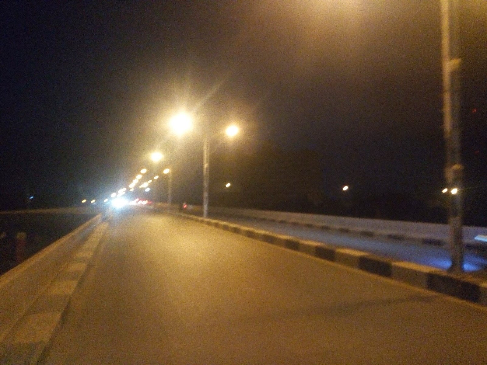
The queue for the bridge on a Friday afternoon starts about four kilometres out and is entirely predictable, which has produced a whole roadside economy along the approach — food, fuel in bottles, phone charging. The congestion is somebody's living.
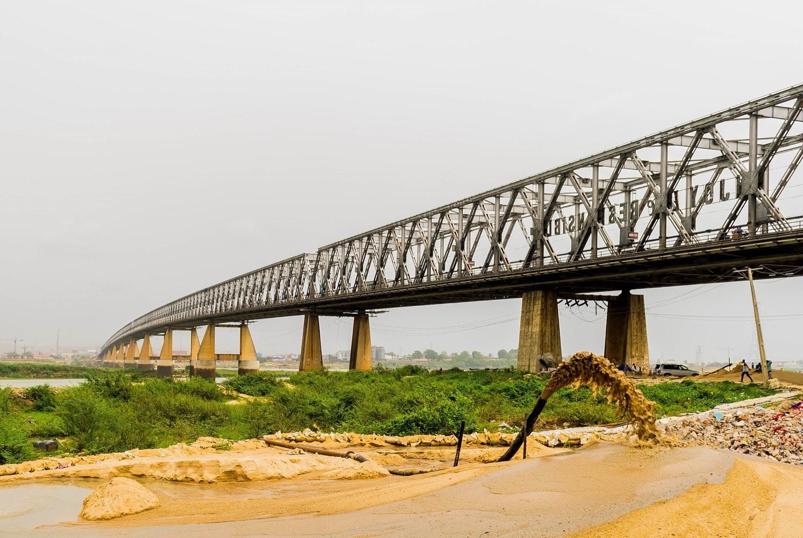
The market rows are ordered by seniority, not by product. The oldest weavers are nearest the road. An apprentice starting out is at the back, and moves forward over a working life, which means you can read somebody's standing off their position without asking.
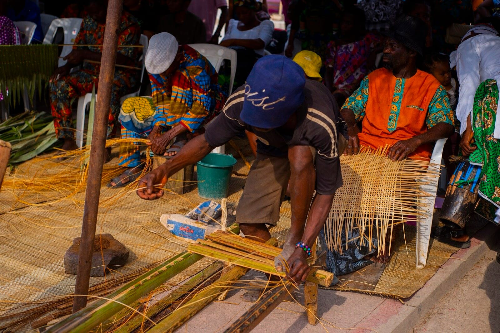
Keke fares in Maiduguri are quoted by route rather than distance, and the routes are not written down anywhere. A newcomer pays roughly double for a week and then stops paying double, which everyone treats as a reasonable arrangement.
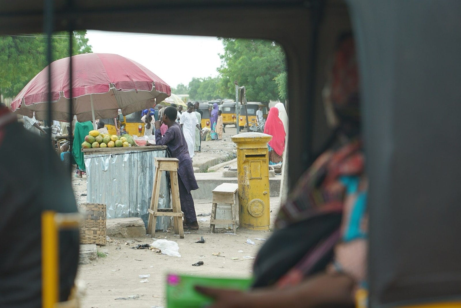
Harmattan on the plateau kills the contrast by ten in the morning. Everything photographable happens before eight. This is well known to anyone who lives here and catches out every visiting photographer including, this week, me.
Roadside honey on the Jos road is sold in whatever bottle the seller has — mostly repurposed spirit bottles. The honey is excellent and the packaging has, as far as I can tell, single-handedly kept it out of every shop outside the state.
Yam barns along the Gboko road are built as open lattices so the tubers breathe, and they are read like a balance sheet from the road — a full barn in March means a household that did not have to sell early. Everybody driving past is doing that arithmetic.
Every boat in the park at Badagry carries a painted name, and a surprising number are complete sentences. My favourite this week: NO CONDITION IS PERMANENT, in white on blue, on a boat that has clearly been repaired more than once.
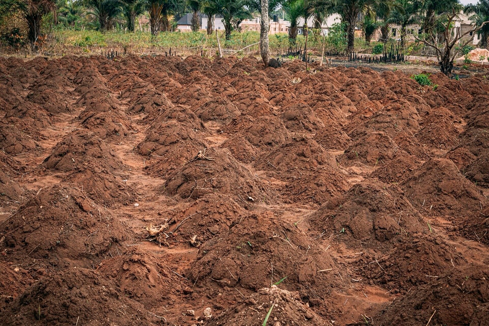
You can tell where the wall has been dug into recently: the cut face is a different colour for about a season before it weathers back. Walking a two-kilometre stretch, I counted eleven fresh cuts. Nobody was hiding it; the earth is good and it is free.
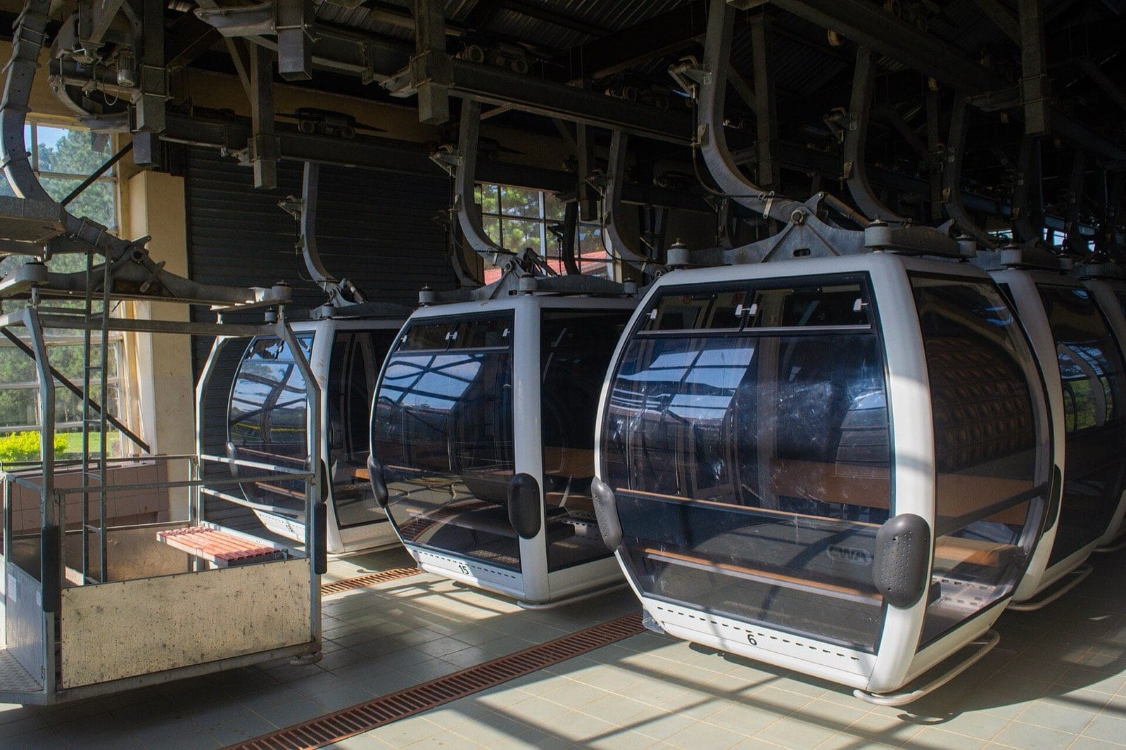
It rains on the plateau most afternoons between two and four, hard and then finished. The lodges plan around it and visitors do not, which is why the cable car queue is longest at exactly the wrong time of day.
Rakiya Ibrahim's river notebook is a school exercise book, one line per week, going back to 2009. She keeps it in a drawer with the class registers. No institution has ever asked to see it and it is the longest continuous local record of the river's height that I have found.