Dispatch
A city that is entirely about crossing a river
Makurdi exists because of a bridge, grows the country's yam, and floods on a schedule everybody knows.
North-Central
Benue State
7.7322° N, 8.5391° E
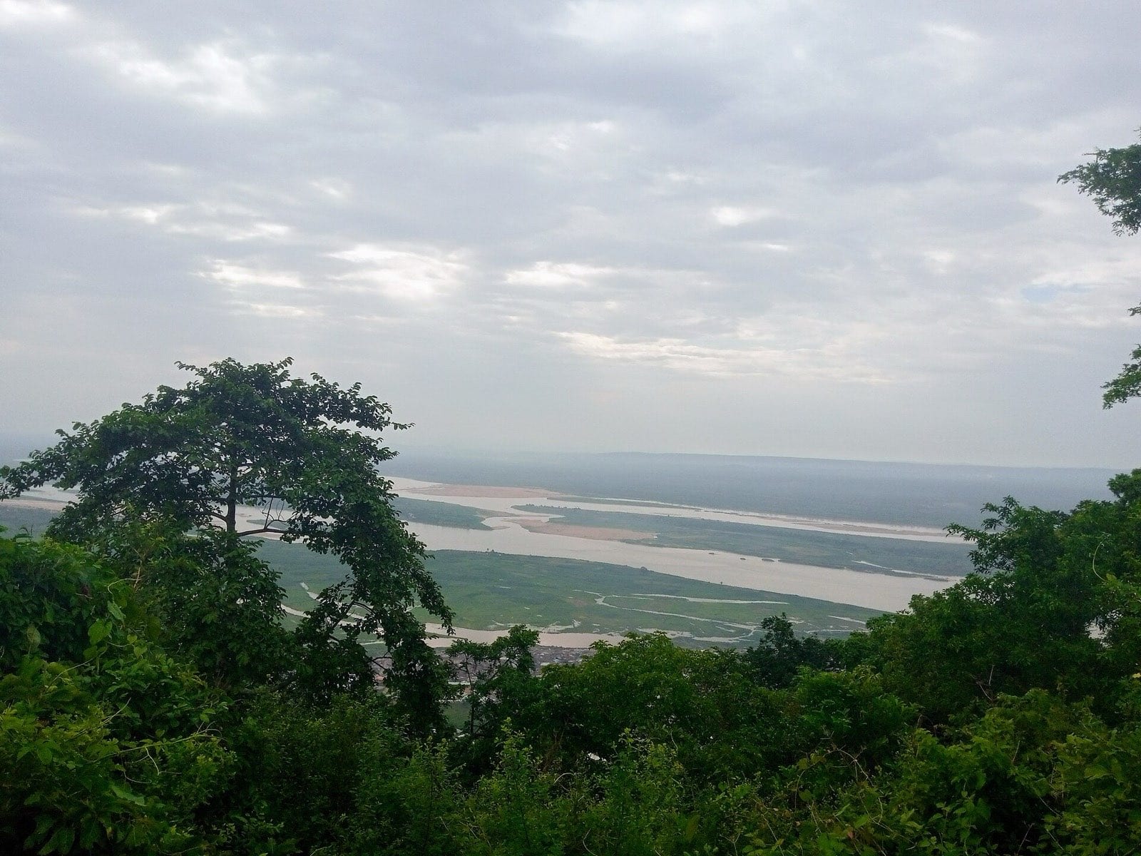
A city built on both banks of the Benue, and organised entirely around crossing it.
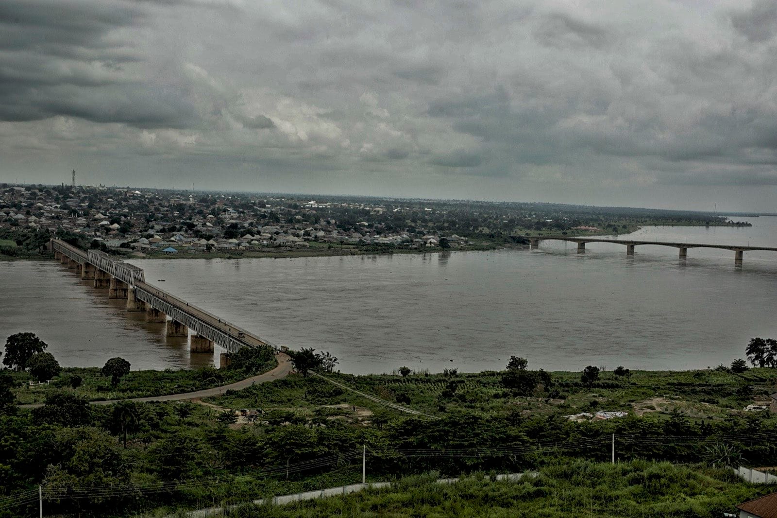
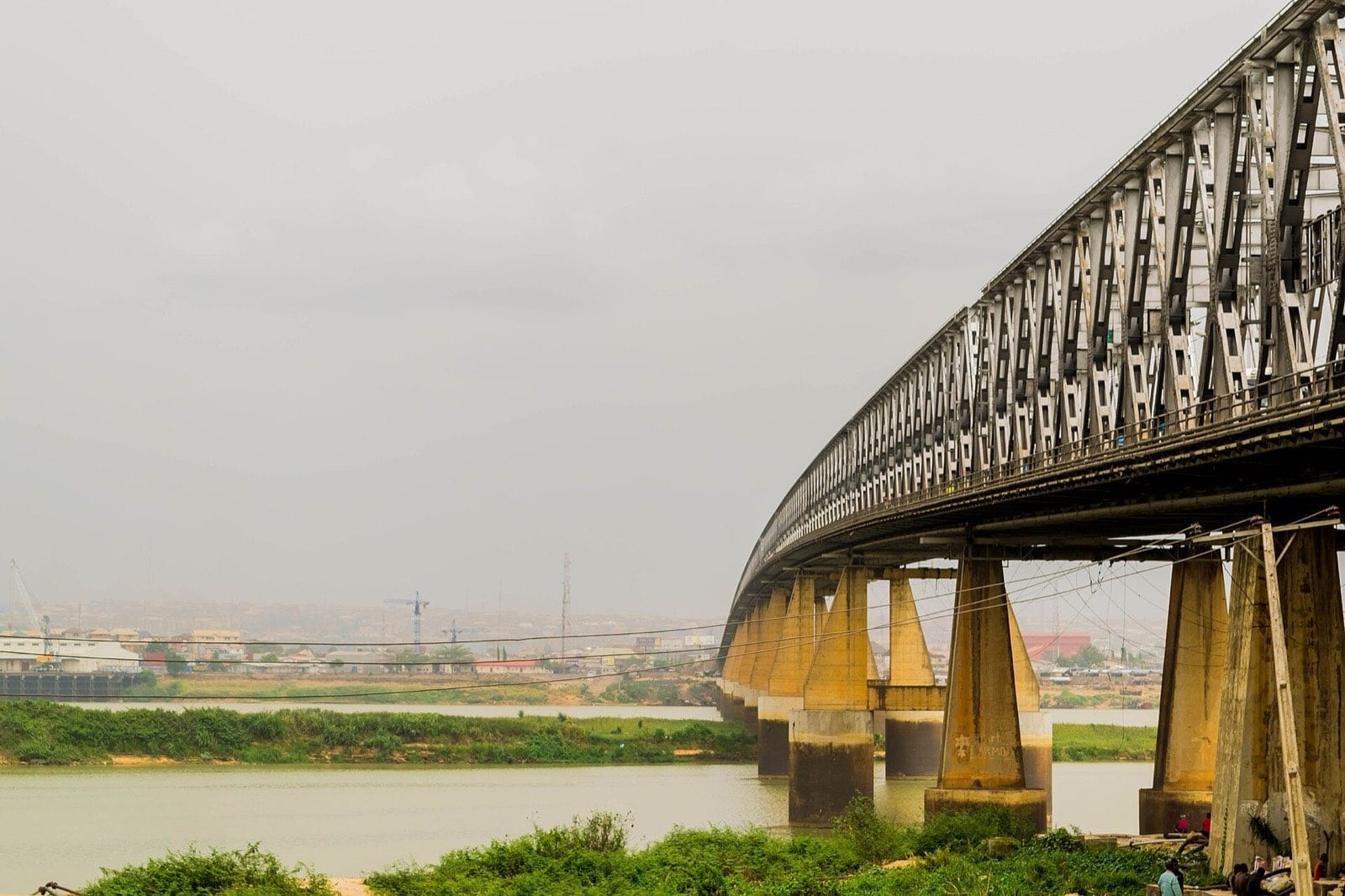
Makurdi exists because of a bridge. The Benue divides the city in two, and the old and new bridges are the reason the town is where it is. Benue State calls itself the food basket of the nation and grows a great deal of the country's yam, which means Makurdi's rhythm is a farming rhythm — and that the river's flooding is not a weather story here but an economic one.
1 story, newest first.
Makurdi exists because of a bridge, grows the country's yam, and floods on a schedule everybody knows.
Makurdi exists because of a bridge, grows the country's yam, and floods on a schedule everybody knows.
Sule Danjuma
Yam barns along the Gboko road are built as open lattices so the tubers breathe, and they are read like a balance sheet from the road — a full barn in March means a household that did not have to sell early. Everybody driving past is doing that arithmetic.
Editorial adjacency rather than distance — somewhere it makes sense to go from here.