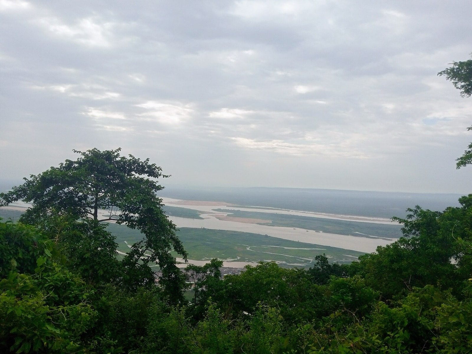
From the top of Mount Patti the confluence is laid out like a diagram. The Niger comes down from the north-west, pale with sediment. The Benue comes in from the east, darker. Below the join they run alongside each other, visibly separate, for a good distance before they finally give in and become one river.
This is the geographic argument for Nigeria existing, and it was made explicitly: Lugard administered the Northern Protectorate from the town below, and the amalgamation of 1914 was in part an argument about rivers and what they made possible.
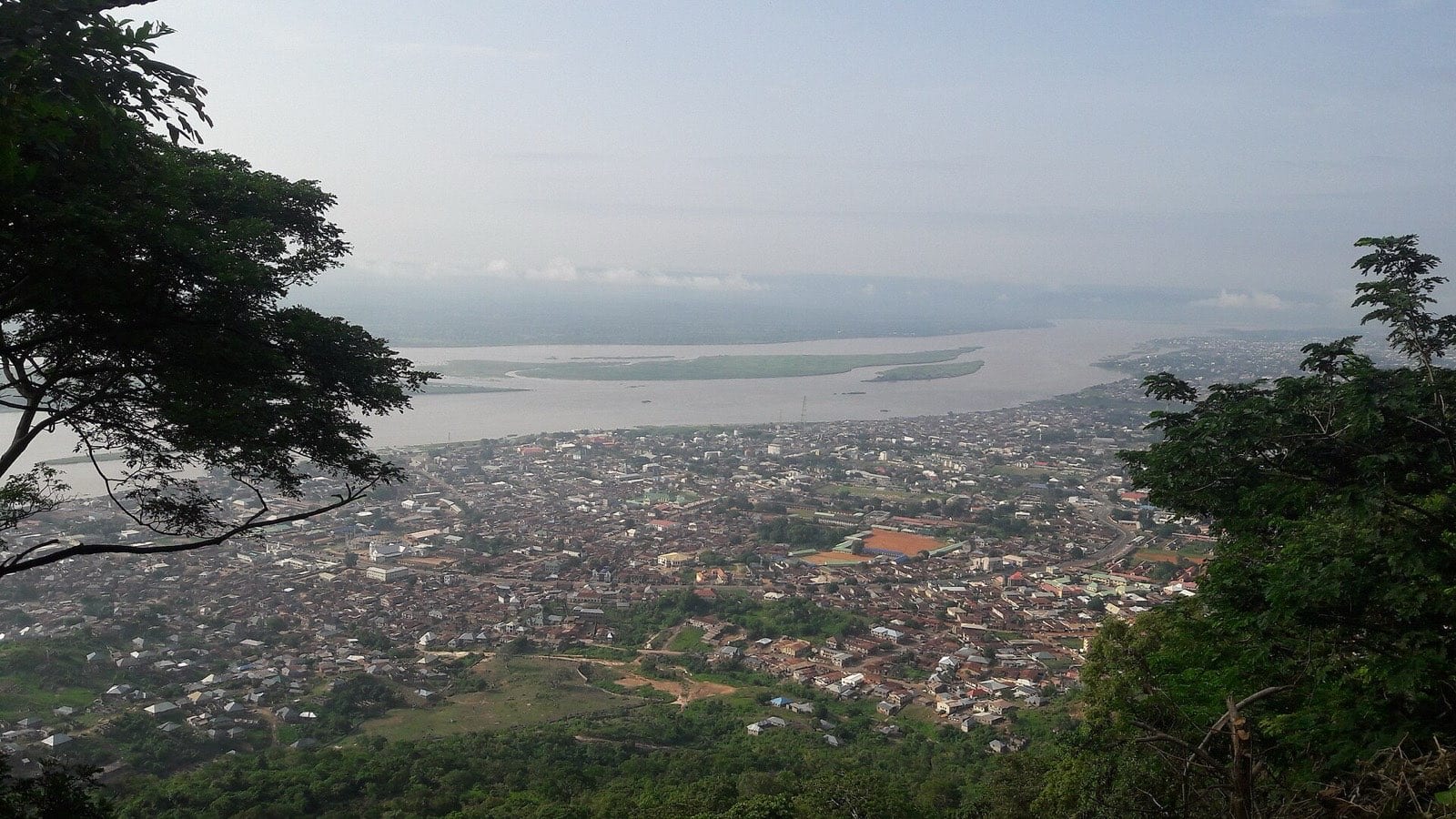
“Two rivers, running side by side, declining to mix. It is difficult not to read something into it.”
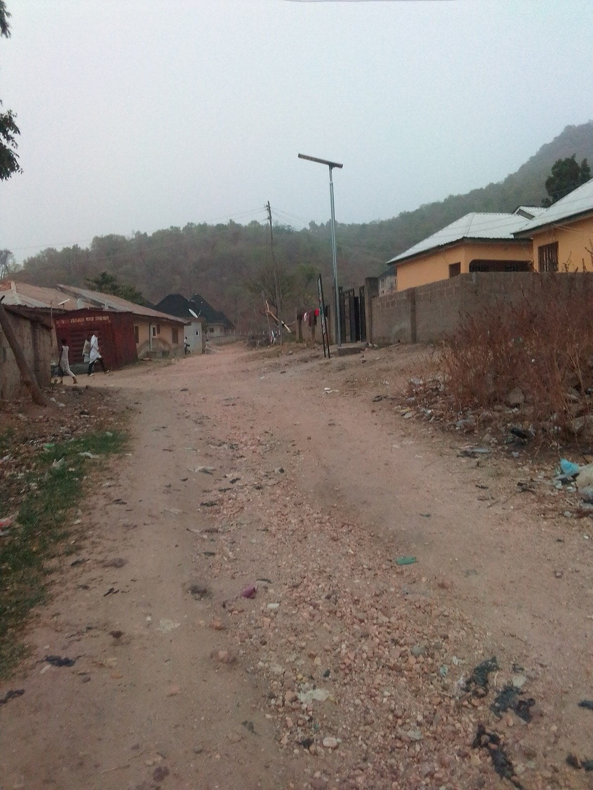
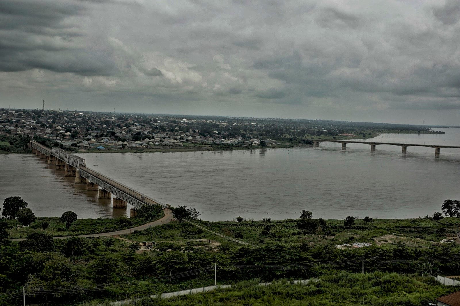
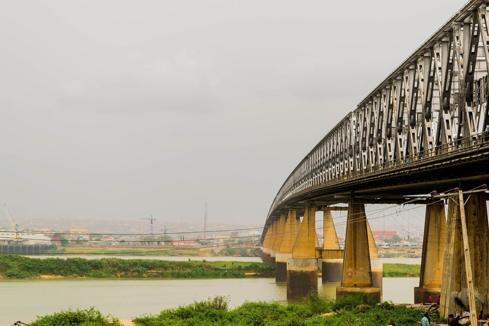
The town itself has colonial bones — the administrative buildings, the layout, the cemetery — and a present that has very little to do with them. Lokoja is now a transit town, which is what happens to a place that everything has to pass through.
.jpg)

